There are 231 miles of the Bay Circuit Trail, and that’s just the beginning.
The trail and greenway, which AMC maintains with local partners, loops through the Greater Boston area, from the mouth of the Merrimack River in Newburyport down to Kingston Bay near Cape Cod. Along the way, it passes through state parks, wildlife sanctuaries, and other preserved land, creating a network of intersecting trails systems.
With so many options, it can be hard to know where to begin. Here are some of our favorite hiking areas on the Bay Circuit Trail (BCT), with abridged descriptions from AMC’s Best Day Hikes Near Boston 4th Edition. Each demonstrates what’s so special about the BCT, from unique ecology to local history. We hope you’ll be inspired by your BCT experience to support close-to-home trail maintenance and conservation as an AMC member. Happy trails!
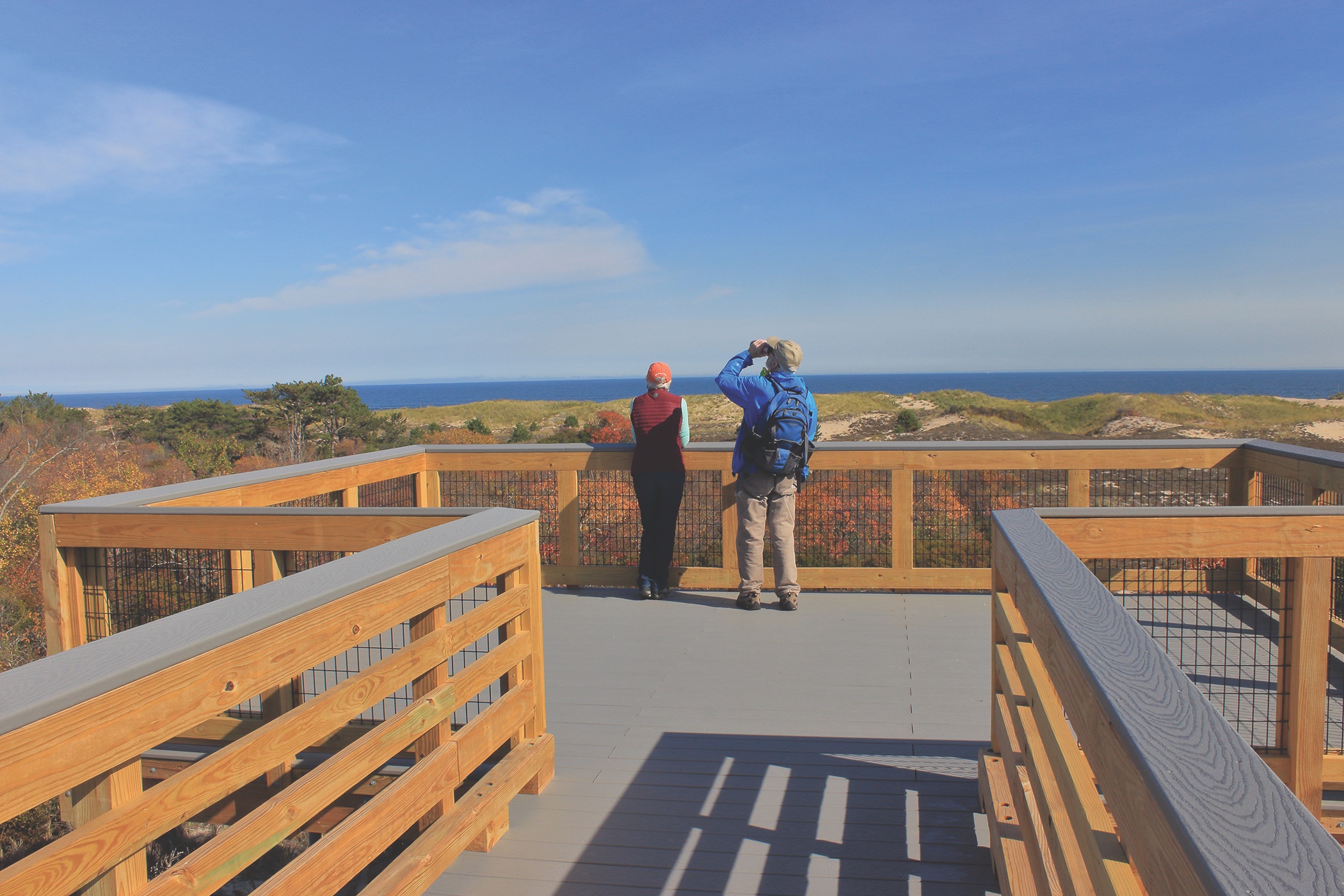

Parker River National Wildlife Refuge. Photo by John S. Burk.
Parker River National Wildlife Refuge
(Newburyport, MA)
From the Guide: “Parker River National Wildlife Refuge, on Plum Island, encompassing a natural barrier beach, salt marshes, and coastal forests, is a place nature lovers should visit in all seasons. Plum Island is one of the foremost birding spots in the Northeast; more than 270 migratory and resident species have been seen there. Spring and fall, when many migrating birds fly low over the dunes, are the peak seasons for viewing. A winter walk amid white snow, golden-brown salt grass, and beach sand can be a cure for cabin fever.”
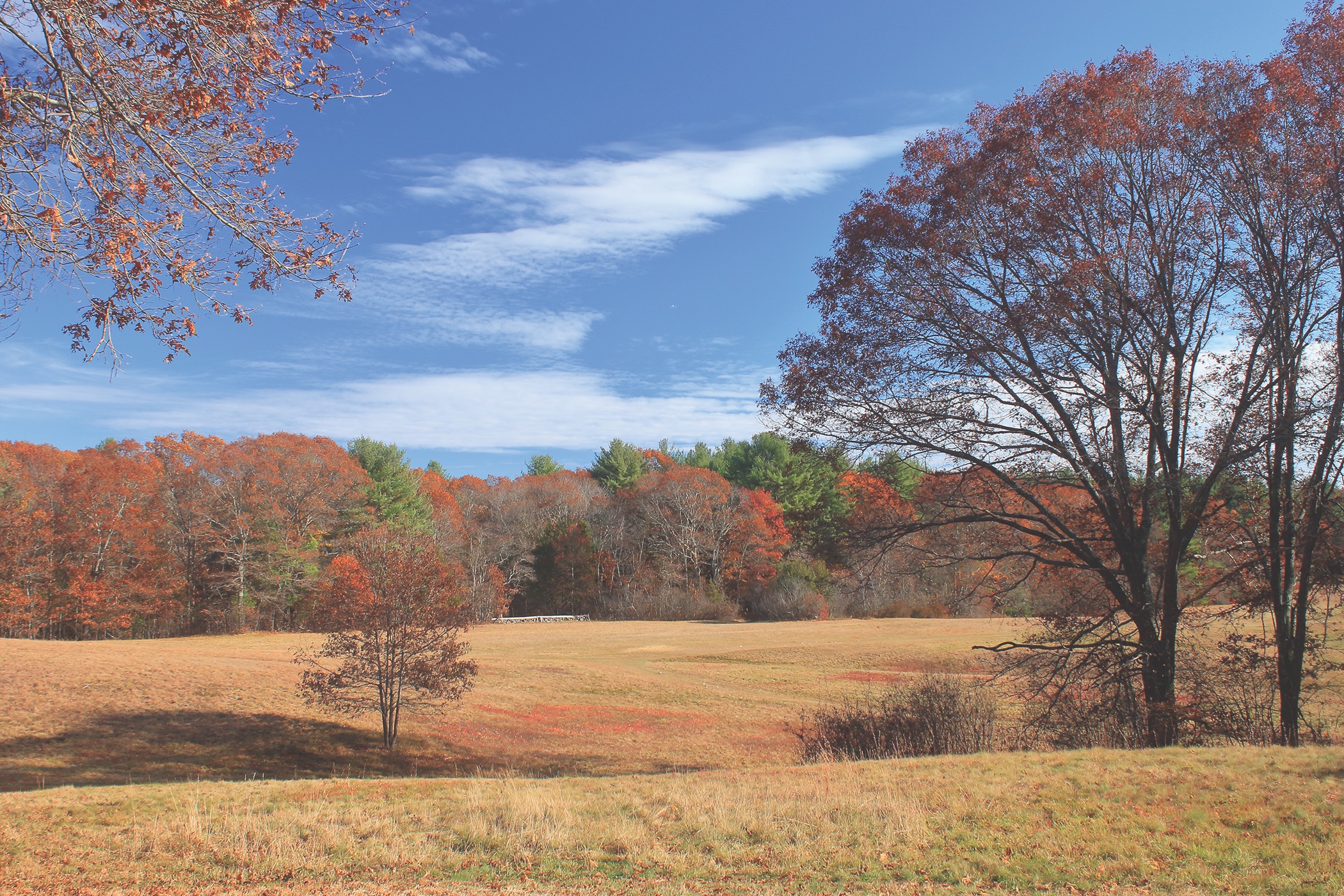

Bradley Palmer State Park. Photo by John S. Burk.
Bradley Palmer State Park
(Hamilton and Topsfield, MA)
From the Guide: “Bradley Palmer State Park protects more than 720 acres in the Ipswich River watershed. The site was once the estate of Bradley Palmer, a prominent early-twentieth-century attorney who donated land to establish both the park and the adjacent Willowdale State Forest. Today, the park is a popular destination for a variety of recreational users, including hikers, horseback riders, mountain bikers, and cross-country skiers.
The extensive trail network includes old carriage roads and footpaths. More than 75 numbered junctions are marked on the Massachusetts Department of Conservation and Recreation (DCR) state park map, which is available at the park headquarters and on its website.”
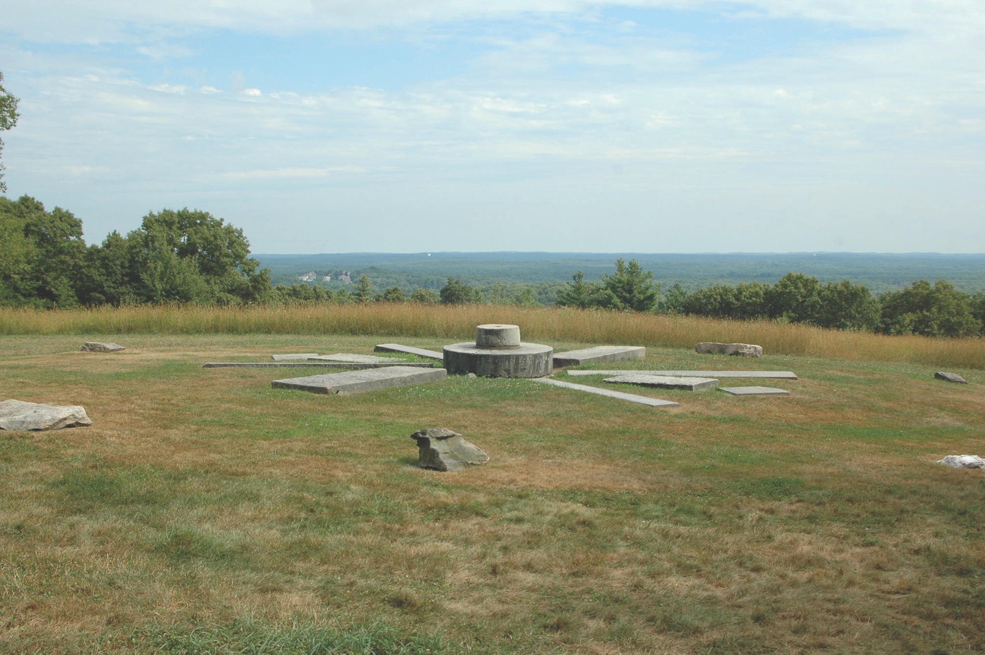

Charles W. Ward Reservation. Photo by John S. Burk.
Charles W. Ward Reservation
(Andover, MA)
From the Guide: “Ward Reservation offers diverse attractions, featuring a bog with regionally rare plants and northern tree species, fantastic vistas, and miles of woodland trails. This trip includes portions of Yellow Trail, Red color-blazed loops, and the BCT. It leads to the bog, to Holt Hill (the highest point in Essex County), and through a mosaic of woodlands and wetlands in the reservation’s northern section.”
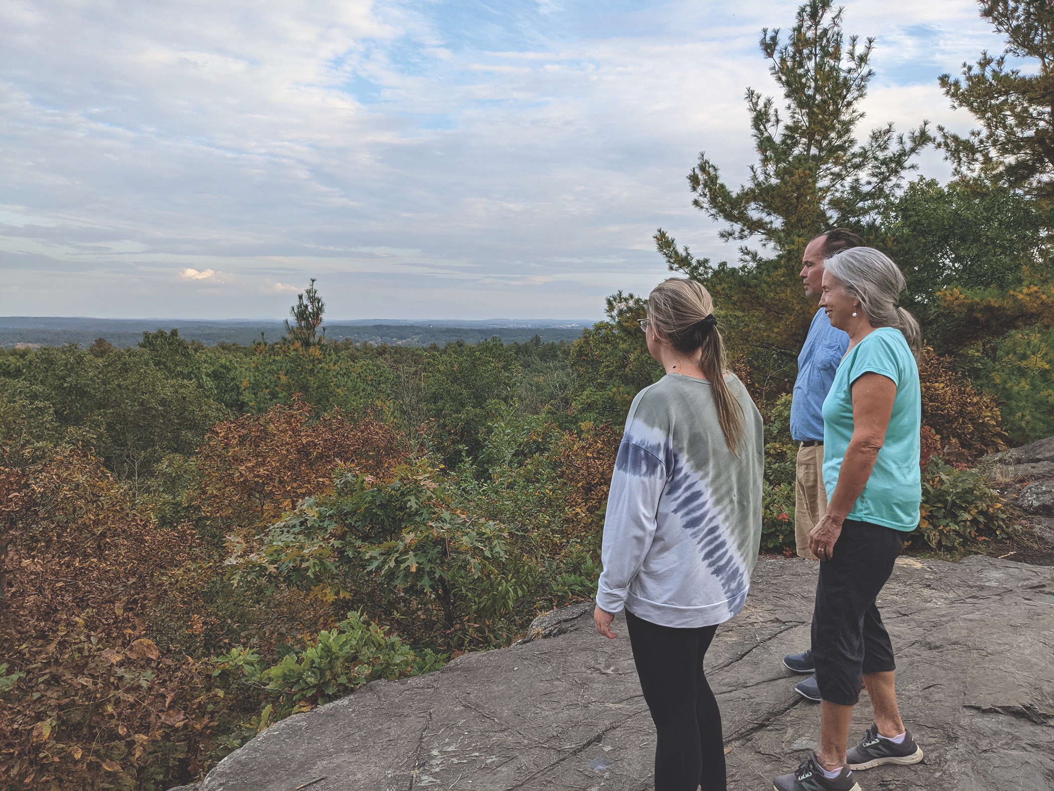

Nobscot Hill and Tippling Rock. Photo by Alison Leonard.
Nobscot Hill and Tippling Rock
(Sudbury and Framingham, MA)
From the Guide: “Nobscot Hill, which at 602 feet is the highest point along the entire 231-mile Bay Circuit Trail, is part of a series of rocky hills and ridges in Sudbury and Framingham, the heart of the Metro West region. From outlooks near its summit and from the nearby open ledges of Tippling Rock, hikers can enjoy long views to Mount Monadnock, Wachusett Mountain, and Boston.”
Borderland State Park
(North Easton, MA)
From the Guide: “Borderland was opened as a state park in 1971. Before that, the property served as the country estate of the Ames family. The family constructed the stone mansion in 1910, and the house is open year-round for regularly scheduled guided tours.
Hiking alongside water always makes an outing more interesting, and Borderland State Park features six ponds to explore. Add to that the flat hayfields and the option to test your legs on hilly, rocky terrain, and Borderland has something for everyone. The park can be a popular place, but with 1,843 acres it’s easy to find the quiet and solitude that make hiking appealing to many people.”
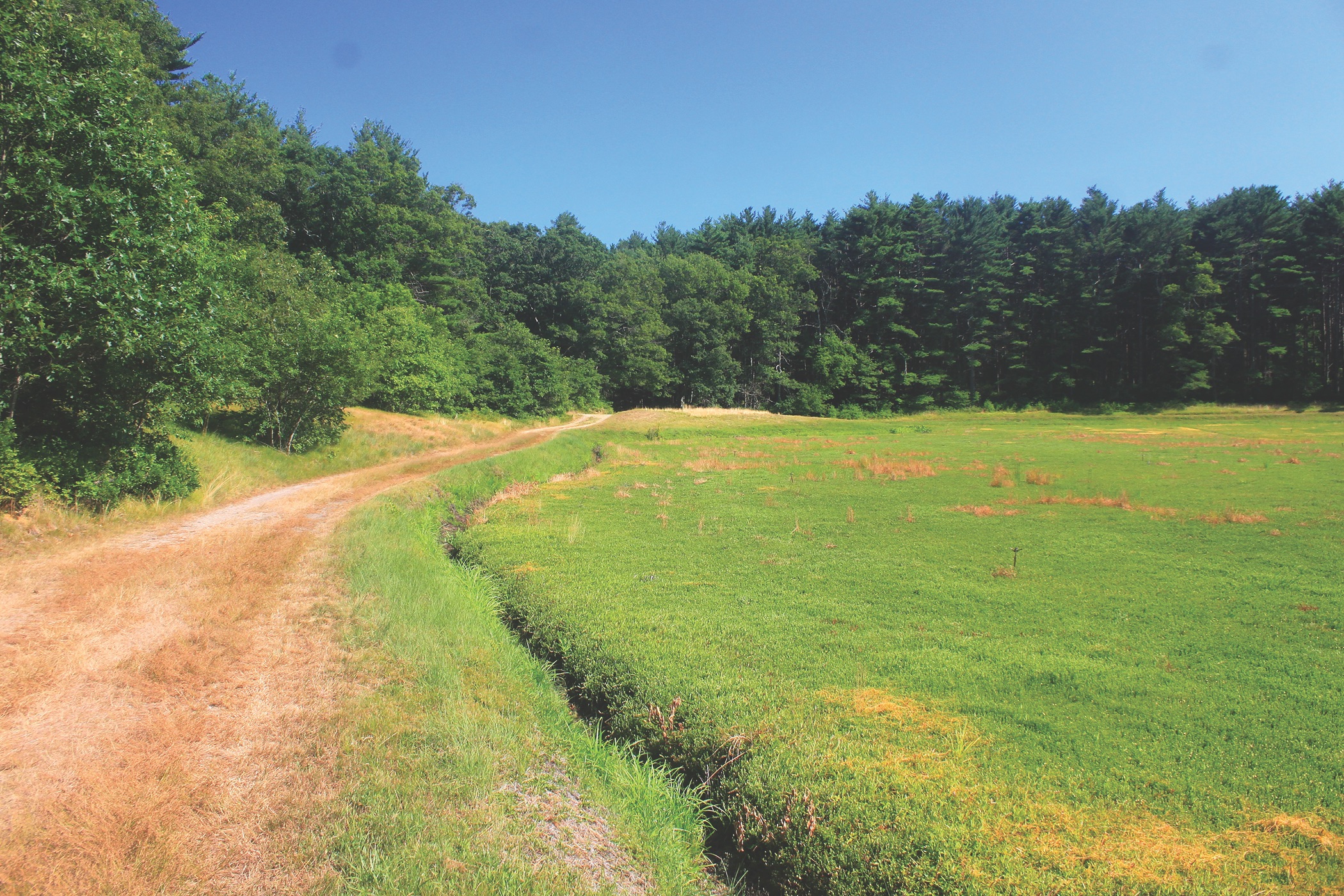

North Hill Marsh Wildlife Sanctuary. Photo by John S. Burk.
North Hill Marsh Wildlife Sanctuary
(Duxbury, MA)
From the Guide: “North Hill Marsh, jointly owned and managed by Mass Audubon and the town of Duxbury, is an 823-acre tract of wetlands and forests. The sanctuary, which is centered on a 90-acre freshwater pond, includes several miles of nature trails that are split between the east and west sides of the pond. A detailed trail map and brochure are available at the entrance.”