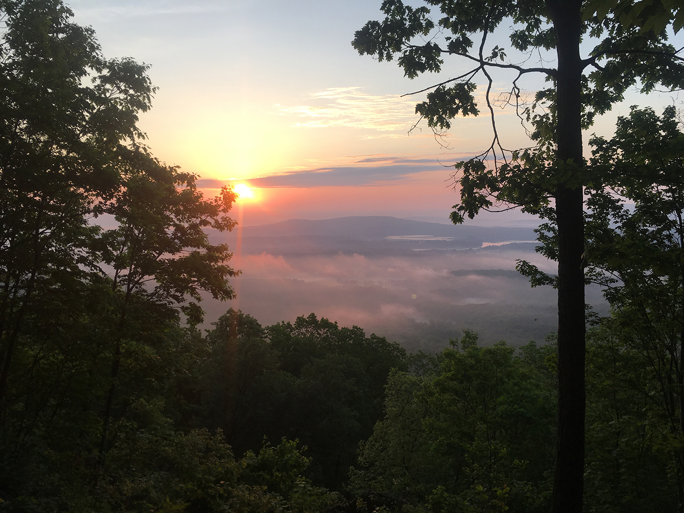
The view from near AMC Riga Campsite and Shelter on the Appalachian Trail in Connecticut, which the author section-hiked in 2021.
As a teacher, I usually go on a little outdoor adventure trip in the summer. After not having an adventure in summer 2020, and the remaining travel concerns this summer, I was uncertain what adventure we could tackle.
I decided that it was time to hike the full 50 miles of the Appalachian Trail (A.T.) in Connecticut, my home state. Forty years ago, I daydreamed of being an A.T. thru-hiker. I still love long, challenging hikes but much prefer a hot shower and bed indoors rather than sleeping on the ground in a backpacking tent. I planned the section-hiking adventure with a friend, Elizabeth Fiorillo, so we could always have a second car spotted at the end of each hike. Planning a day-to-day section hike on the Connecticut A.T., which would accommodate my hot shower and bed criteria, became an interesting task. Most resources give information about shelter-to-shelter sections, instead of what we needed were parking lot-to-parking lot sections. I used a set of detailed, waterproof topographic maps from National Geographic, a little help from Google, and the identification of a base motel where we’d stay for each of the hikes. These were all I needed to plan our six days of hiking. We could have completed the route in five days, but we went lighter mileage-wise on days five and six so we could do some touristy things in the afternoon of those days. Here’s a breakdown of each section we completed, all of which are rated easy to moderate by the Appalachian Trail Conservancy.
Note: Mileage listed is for the Appalachian Trail sections only.
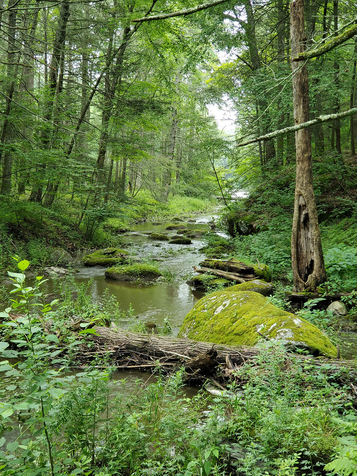
The stretch of the A.T. between Gaylordsville and Kent, Conn., is characterized by lushness.
DAY 1: HOYT RD. TO ROUTE 341 | Gaylordsville and Kent, Conn.
On the first day, we hiked from Hoyt Road, the southernmost point of the Connecticut A.T., to Connecticut Route 341 near Kent, Conn. This section started our hike with a bang, taking us around 12 miles with more than 2,000 feet of elevation gain. The terrain was more challenging than expected, with a lot of ups and downs and rocky footing. It was a lovely, forested trail with mostly hardwoods and, overall, very lush and green. Once we got to the Ten Mile River tent site the trail mostly hugged the Housatonic River. It was quite a sight; ferocious and swollen from all the July rain. By the time we reached Kent, we were tired but not sore (as we hike regularly year-round two to three times a week).
Distance: 12 miles
Difficulty: Moderate
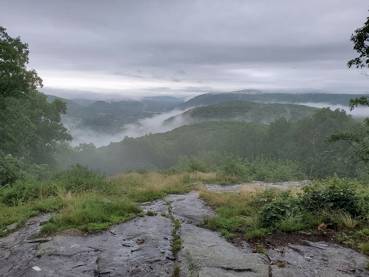
The morning view from the top of St. John’s Ledges.
DAY 2: ROUTE 341 TO ROUTE 4 | Kent and Sharon
On day two, we hiked from CT Route 341 in Kent to CT Route 4 in Sharon. We’d spotted a car on Guinea Road, a side street near where the trail crosses Route 4. The weather started off rainy, which was a bit concerning as we knew we had St. John’s Ledges to scramble through, which would be challenging if the rocks are wet. Fortunately, the rain let up and even though the trail was wet and slippery, we made it through with the assistance of our trekking poles. In total, this section also was about 12 miles in length, the first 4.7 miles consisting of up-and-down terrain (including going down St. John’s Ledges) followed by an easy five mile walk along the Housatonic River. The river was so high that there was one stretch where it overflowed its banks and covered the trail. At one point, along the river, we were taking a break and heard all this squawking overhead. Looking up, we spotted two bald eagles sitting on a low branch. The last stretch of this section took us over Silver Hill which does not look like much—but at the end of two long days it was slow going.
Distance: 12 miles
Difficulty: Moderate to Difficult
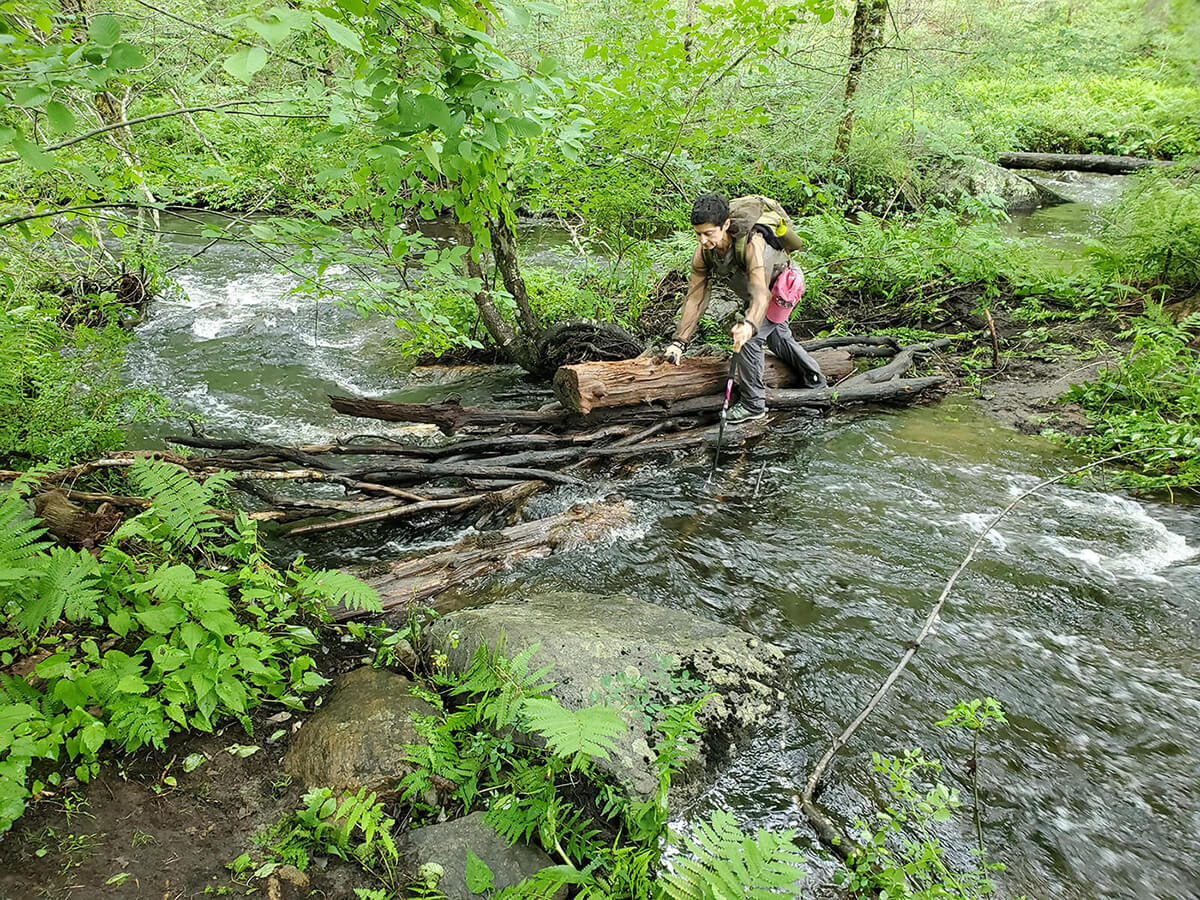
On a day with 18 stream crossings, Elizabeth Fiorillo navigates a particularly tricky one.
DAY 3: ROUTE 4 TO US RT 7 AND CT ROUTE 112 | Sharon and Salisbury
On day three, we took the advice of a sign posted at the end of the previous day’s section recommending a detour to avoid a dangerous stream crossing over Guinea Brook just north of CT Route 4. The sign recommended taking the Mohawk Trail from the junction of Route 4 and US Route 7 up to Breadloaf Mountain (1,300 ft.) and the A.T. Having battled a few tricky stream crossings the day before—and seeing how high the rivers and streams were from a particularly wet spring and early summer—we took this wise advice. Day three was still a day of 18 stream crossings, some of them quite challenging. Hiking with poles made them manageable, however; I can’t imagine doing the crossings without poles. This section was notable for all the impressive trail work. The numerous stone stairs and water bars were much appreciated as they made a rough trail just a bit easier. We ended at the junction of US Route 7 and CT Route 112 after another approximately 12-mile hiking day.
Distance: 12 miles
Difficulty: Moderate
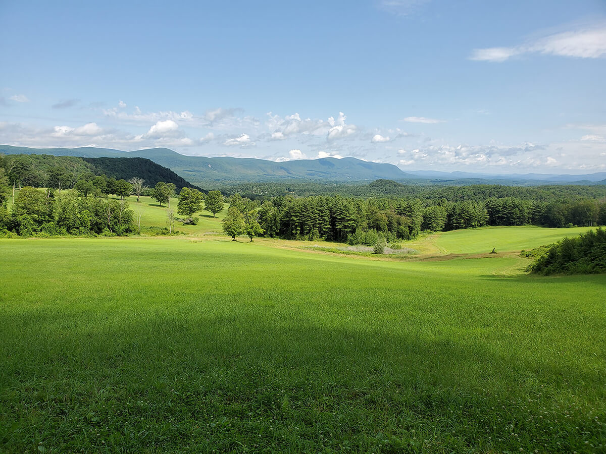
After about 6 miles of following the A.T. over moderate ups and downs, hikers descend Mount Prospect and emerge from dense woods into a large meadow, featuring Rand’s View of the northern Berkshires.
DAY 4: US ROUTE 7 AND CT ROUTE 112 TO ROUTE 41 | Salisbury
Day four started at the junction of US Route 7 and CT Route 112 and ended at CT Route 41 near Salisbury. This was a shorter day of approximately 10 miles and included some minimal road walking and a fabulous stretch near Great Falls in Falls Village. The recent rains that swelled the Housatonic River had Great Falls earning its name. There is a section of the A.T. along today’s route that is a popular river walk with residents of Falls Village. The trail was flat and soft on the feet under beautiful old pine trees. It was on today’s hike that we reached the 1,500-mile point of the A.T., clearly marked with a sign, a milestone that thru-hikers look forward to in their south-to-north trek. We also enjoyed the bucolic Rand’s View of the northern Berkshires and surrounding countryside.
Distance: 10 miles
Difficulty: Moderate
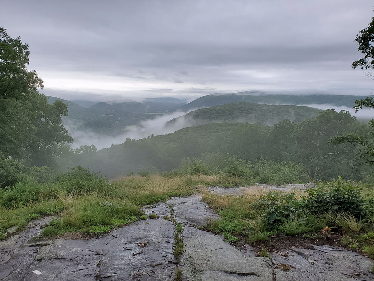
The morning view from the top of Lion’s Head.
DAY 5: CT ROUTE 41 TRAILHEAD TO UNDERMOUNTAIN TRAILHEAD | Salisbury
Day five was the first of our shorter days. Starting at the trailhead on CT Route 41, we hiked over Lions Head (1,730 ft.) for a total of 4.7 miles on the A.T., followed by 1.8 miles down the Undermountain Trail to CT Route 41. It was a beautiful morning and with our early start we were on Lion’s Head before 9 a.m. We hiked high enough that the hills below us were wreathed in clouds, a breathtaking sight. And the peak had craggy old pitch pine trees managing to thrive on the rocky top. Our route was wet with a few stream crossings, but nothing as challenging as those on Day 2. Afterword, we enjoyed a little tourist time, visiting Kent Falls State Park and the Kent Falls Brewing Company for some post-hike refreshment.
Distance: 4.7 miles
Difficulty: Moderate

Mary Anne Hardy and Elizabeth Fiorillo reach the end of the A.T. in Connecticut at the junction with Paradise Lane.
DAY 6: UNDERMOUNTAIN TRAILHEAD LOOP | Salisbury
Our final day, day 6, involved only a short stretch of the Connecticut A.T. We parked again at the Undermountain trailhead on Route 41 and hiked the 1.8 miles that we did yesterday back to the A.T. We headed north and arrived at the summit of Bear Mountain (2,323 ft.) around 9 a.m. after around 90 minutes of hiking. (We planned early starts every morning to beat the heat as much as possible.) The views from Bear Mountain were beautiful, and we were the only ones on the summit—a rare treat. From there we continued north on the A.T., down a treacherous section that was very wet and slippery. Fortunately, we met some hikers arriving at the summit as we were leaving who warned us of the challenging trail ahead. We reached Riga junction to complete our Connecticut A.T. section 1.5 miles on the trail. We had to get back to the car, however, so we took the Paradise Lane Trail 1.7 miles back to the Undermountain Trail—our third time hiking this stretch—and another 1.2 miles down to the trailhead and our cars. Our total distance hiked was about 6 miles on this last day. We finished around noon, giving us plenty of time to meander back to southern Connecticut with a much-deserved ice cream stop in Bantam on the way home.
Distance: 1.5 miles on the A.T. (6 miles total)
Difficulty: Moderate
I would highly recommend this as the way to go if you want to hike the CT section of the A.T. without backpacking. Parts of it were strenuous, and training in advance is necessary. We hike regularly and try to make one of our weekly hikes 10 miles or more. This section hike could be trimmed to five days by combining our last two days, which would make the last section about 9 miles. The experience of section hiking the Appalachian Trail in Connecticut now has me thinking about doing the same in other states, and I’m starting to organize day hike routes to complete the New York section next.