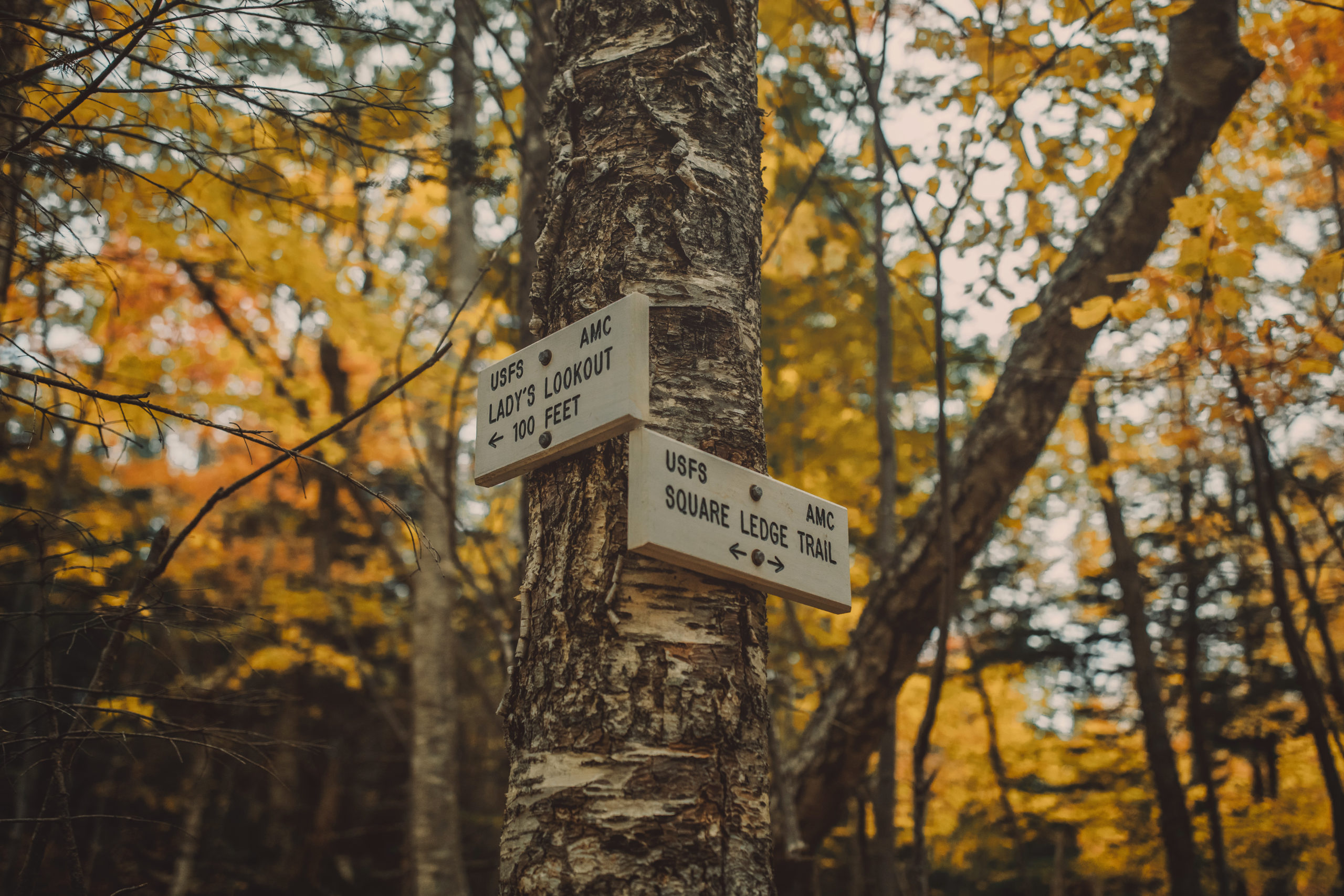
Annual Trail Sign Auction
Every year, AMC’s White Mountain Trail Crew retires a selection of trail signs that have guided thousands along iconic paths in the White Mountains. These historic signs, crafted by AMC and weathered by the elements, are now collector’s items – each with its own story. View this year's retired signs below, and remember, every contribution helps preserve the trails you love.
The 2024 auction has concluded, raising a total of $28,216 for AMC’s mission to maintain over 1,800 miles of trails.
Thank you to all who participated!
Missed this year's auction?
Take home a piece of the adventure with a Trail Sign Replica, now available in the AMC Store.

Lonesome Lake
Nestled between several of New Hampshire’s 4,000-foot peaks along the spruce-studded shores of Lonesome Lake, this sign has guided families, photography lovers, and outdoor enthusiasts through the White Mountains since 2018. Perfect for those who have ventured to AMC Lonesome Lake Hut, or anyone who’s marveled at the spectacular view of Franconia Ridge reflected in this glacial mountain lake.
23 ¾ x 11 ¼ x 1 ½ -- Previously posted at the junction of Cascade Brook Trail and Dodge Cutoff.
Mahoosuc
The Mahoosuc Trail accounts for the last 13.1 miles of the A.T. in New Hampshire and the first 12.8 in Maine. This sign has served as an essential waymarker for thru-hikers since 2018 and points the way to Old Speck, the first 4,000-footer you encounter in Maine when heading north. Now’s your chance to own a piece of Appalachian Trail history!
22 ¼ x 12 x 1 ¼ -- Previously posted at the junction of the Old Speck Trail.
Osseo
Have you hiked the 4,000-footer Mt. Flume? Chances are you’ve spent some quality time with the Osseo Trail! Located 1.4 miles down the Lincoln Woods Trail off Kancamangus Highway, this classic sign has served as a vital marker for hikers accessing the Pemi Loop and Mt. Flume since 2015.
24 x 11 ¼ x 1 ½ -- Previously posted at the Lincoln Woods junction.
Webster-Jackson
The Webster-Jackson Loop is a hiker favorite, offering stunning views from both Mt. Jackson and Mt. Webster. Since 2017, this sign has directed challenge seekers on a loop that not only showcases the beauty of the White Mountains but also connects to the iconic Appalachian Trail.
22 ½ x 6 ½ x ¾ -- Previously posted at the Webster Cliff Trail junction on the Mt. Jackson Summit.
Caps Ridge
Calling adventure seekers! The Caps Ridge Trail features a challenging scramble through the "caps" on Jefferson's shoulder, earning its classification as one of New Hampshire's Terrifying 25 Trails. From the highest public highway in New Hampshire (3,009 feet) to the third highest peak in New Hampshire (5,712 feet), since 2012 this sign has guided hikers to breathtaking views on the most direct route to Mt. Jefferson.
22 ¾ x 8 x 1 ½ -- Previously posted at the lower Cornice junction.
Davis Path
Davis Path, spanning approximately 14 miles from Crawford Notch to Mt. Washington, was first established as a bridle path in 1845 and reopened as a footpath in 1910 by the Appalachian Mountain Club. Great for White Mountain history buffs, this sign has weathered the elements since 2014, pointing the way to stunning alpine scenery and serving as a gateway for over a century of travel and exploration.
22 x 8 ¼ x 1 ½ -- Previously posted at the junction of the Boott Spur Trail.
Ethan Pond
Take home a piece of the Appalachian Trail! This sign at the intersection of Ethan Pond Trail and Kedron Flume Trail has become a recognized landmark in the White Mountains of New Hampshire, marking the entryway to scenic destinations like the Pemi Wilderness and Willey Range, which includes three of the state's famed 4,000-foot peaks. Since 2017, it has served as a vital navigational aid for thru hikers traversing the Appalachian Trail from Georgia to Maine.
25 ½ x 10 ½ x 1 ¼ -- Previously posted at the Kedron Flume Trail junction.
Desolation
The eastern side of the Pemigewasset Wilderness is named “Desolation” because loggers clear-cut much of the forest here between 1890 and 1940, triggering a massive waste wood fire that left a smoke cloud over the entire White Mountain region. After 75 years of regeneration, this area is a White Mountain miracle. This sign, located at the region's geographic heart, marks a key route on Mt. Carrigan and has withstood some of the toughest weather conditions in the Northeast. An ideal decoration for environmental advocates, aspiring 4,000-footers, or those who believe in second chances.
24 ¾ x 8 x 1 ¾ -- Previously posted on the Mt. Carrigan summit, at the junction with the Signal Ridge Trail.


